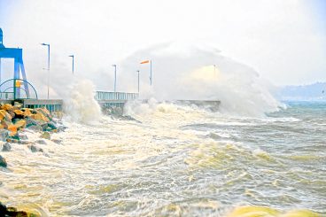

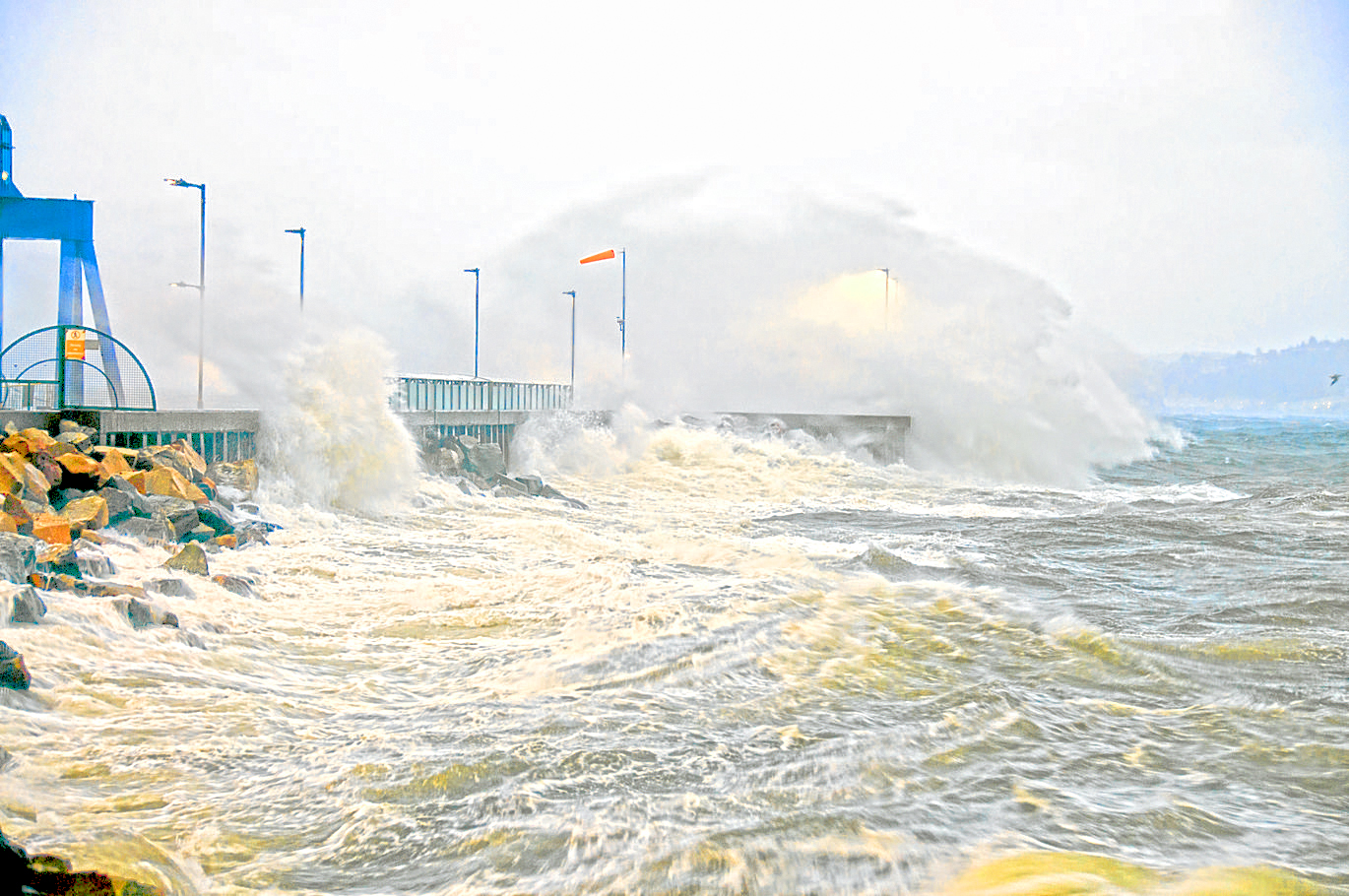
Bute and Cowal, along with the rest of Scotland and the UK west coast, is set to be battered by high winds tomorrow (Friday).
A Met Office yellow warning is in place as the national weather and climate agency forecasts North North-Westerly gusts of up to 53mph in the area as the storm comes in from the Atlantic.
Storm Arwen is set to reach its peak at tea-time tomorrow, the highest winds forecast between 6 and 7pm.
The winds will be accompanied by heavy rain and freezing temperatures, feeling like -3°C.
A yellow alert for wind means Injuries and danger to life from flying debris are possible, and some damage to trees, temporary structures and buildings, such as tiles blown from roofs, could happen.
Road, rail, air and ferry services may be affected, with longer journey times and cancellations possible. Some roads and bridges may close.
Power cuts may occur, with the potential to affect other services, such as mobile phone coverage.
Injuries and danger to life could occur from large waves and beach material being thrown onto sea fronts, coastal roads and properties.
Winds will start to ramp up about noon before reaching their peak early evening.
Saturday will still be blowy, but the forecast peak wind gusts are 29mph at 9am, going down to a manageable 20mph by lunchtime.
Maybe a good couple of days to enjoy a box set or two…